
Top 7 most craggy pass trails in Vietnam
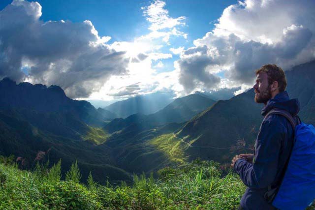
As a famous land with loads of breathtaking passes, Vietnam is an appealing destination that stimulates the exploration of a lot of bikers. If you are about to challenge yourself with the most jagged Vietnam pass, then do not miss spots included in this article below.
O Quy Ho Pass
Located at an altitude of over 2000 meters, Quy Ho Pass (or Tram Ton Pass named by many foreigners) is the longest mountain pass in Vietnam with a length of 50 km. The top of the pass is the boundary between Lai Chau and Lao Cai, in which two-thirds of the pass is in Lai Chau province and the remaining is in Sapa district, Lao Cai.
For each backpacker traveling on O Quy Ho pass, conquering the pass on sunny days is a lucky thing in which you can stand on the top of the pass to admire the grandiose and majestic beauty of nature. The scenery will become more fanciful when you can see the fog spreading on the Lao Cai side, whereas on the Lai Chau side, the sun is shining with clouds in the summer and snow in winter. Therefore, O Quy Ho Pass is always an attractive destination for both international and domestic travelers.
Ma Pi Leng Pass
Dubbed the most dangerous road in the Northern provinces, Ma Pi Leng with a length of 20 km is located on the Happiness road connecting Dong Van and Meo Vac town. It was built to cross the 1200-meter Ma Pi Leng Peak by thousands of young volunteers from 16 ethnic groups in 8 provinces of Northern Vietnam in six years (from 1959 to 1965). The foot of the winding road is a deep area of the Nho Que River, looking like it splits in half, including Ma Pi Leng Peak on one side, and the other side is the road to Sam Pun, which has border markers and a border gate to China.

Bac Sum Pass
Stretching from Minh Tan and Vi Xuyen communes to Quyet Tien commune in Quan Ba District, Bac Sum Pass is another challenge for every biker in their discovery of Vietnam pass with the majestic panorama and the zigzag road.
The sloping road of Bac Sum is like a serpent lying at the foot of the mountain, taking us to a different land of Tam Son Valley with the colder air and the vast green color of the rice fields.
Going through the slope in winter, you will feel like you are floating in the clouds with thick smoke wrapped around the mountain foot, which cannot stop you from taking photos when admiring this spectacular scenery.
Khau Pha Pass
Located at an altitude of about 1,200m to 1,500m above sea level, Khau Pha passes the mountain peak of the same name and is considered the highest mountain in Mu Cang Chai. The name of this peak in the language of the Thai ethnic group means “Heaven Horn” (the horn of the cliff jutting into the sky). It’s because the ridge often rises in the middle of the sea of clouds surrounded like a horn.
The most wonderful time of Khau Pha pass is from September to October when the rice is ripe on the terraced fields. It is also the time that attracts a lot of adventurous tourists to come to conquer the pass.
Ma Phuc Pass
The reason for the name of the pass is that on both sides of the highway, two limestone blocks are standing together like two lying horses. This is the most beautiful pass among Vietnam passes stretching a distance of 22 kilometers from Phu Lo to the border gate in Ta Nung (a part of Highway 3) in Quoc Toan Commune, Tra Linh district, which is the boundary between Hoa An and Tra Linh districts.
The scenery on both sides of the pass is stunning with buckwheat flower fields in spring and green corn fields when summer comes.
Sa Mu Pass
Sa Mu pass is located in the northwest of Quang Tri province, connecting Huong Phung and Huong Viet communes of Huong Hoa district, Quang Binh province. The pass has a height of nearly 1,400m above sea level bordering Vietnam – Laos. The reason for the name Sa Mu is because it is covered with white clouds in a length of nearly 20 km.
Coming here, you can see the “intersection” between the ground and sky because the fog spreads on the trees all the time. The white of the dew, the green of trees, the red of the soil, and the gray of the road make up the overall harmonious natural color that gives a strong visual impression to the bikers.
Da Deo Pass
Da Deo Pass, a 17-km long pass on the legendary Ho Chi Minh Trail associated with a heroic time, is located in Thuong Hoa commune, Minh Hoa district, Quang Binh province. The distance from Dong Hoi to Truong Son road (Ho Chi Minh road) and then to Da Do mountain pass is only about 100 km.
It is named Da Deo because the pass lies across the top of a limestone mountain with a length of over ten kilometers. During the war, it was only a trail, but when the volunteers opened Truong Son Road in which the person who went ahead cut the stone to open the way for the latter.
The pass is hidden behind the deep green curtain of the Truong Son forest in western Quang Binh province. With bends of sleeves and primeval forest, Da Đeo Pass is a goal that many riders want to challenge Vietnam pass.
Wrap up
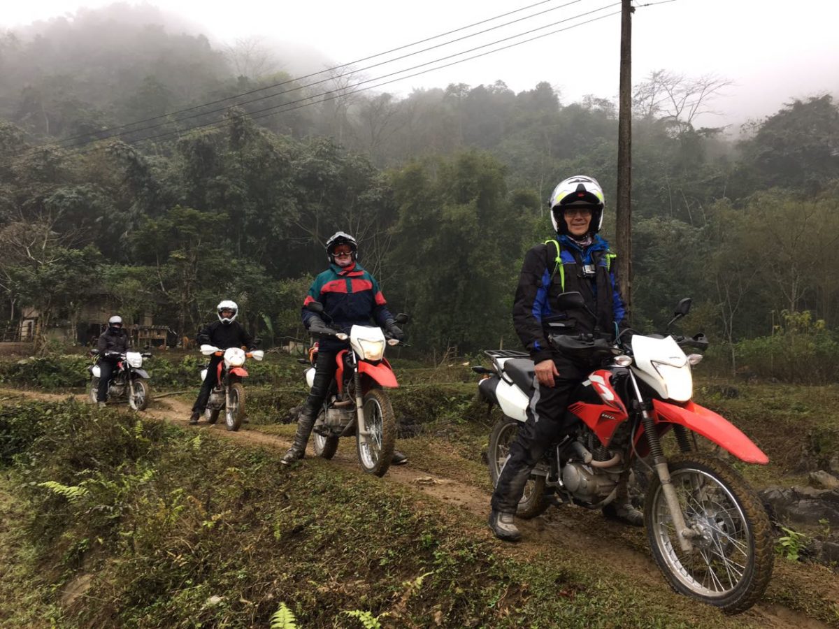
No matter when you start your Vietnam dirt bike tours, Vietnam passes will always satisfy your conquering desire. The more you travel, the more exciting experiences you can get. If you have any questions or need further information, do not hesitate to contact us.